

| Website | https://www.g-red.eu/ |
| Field (and ATECO code) | Geospatial Data Analysis (ATECO code 72.10.29) |
| Target market | Energy, Infrastructure and Land Monitoring |
| Year of incorporation | 2012 |
Services
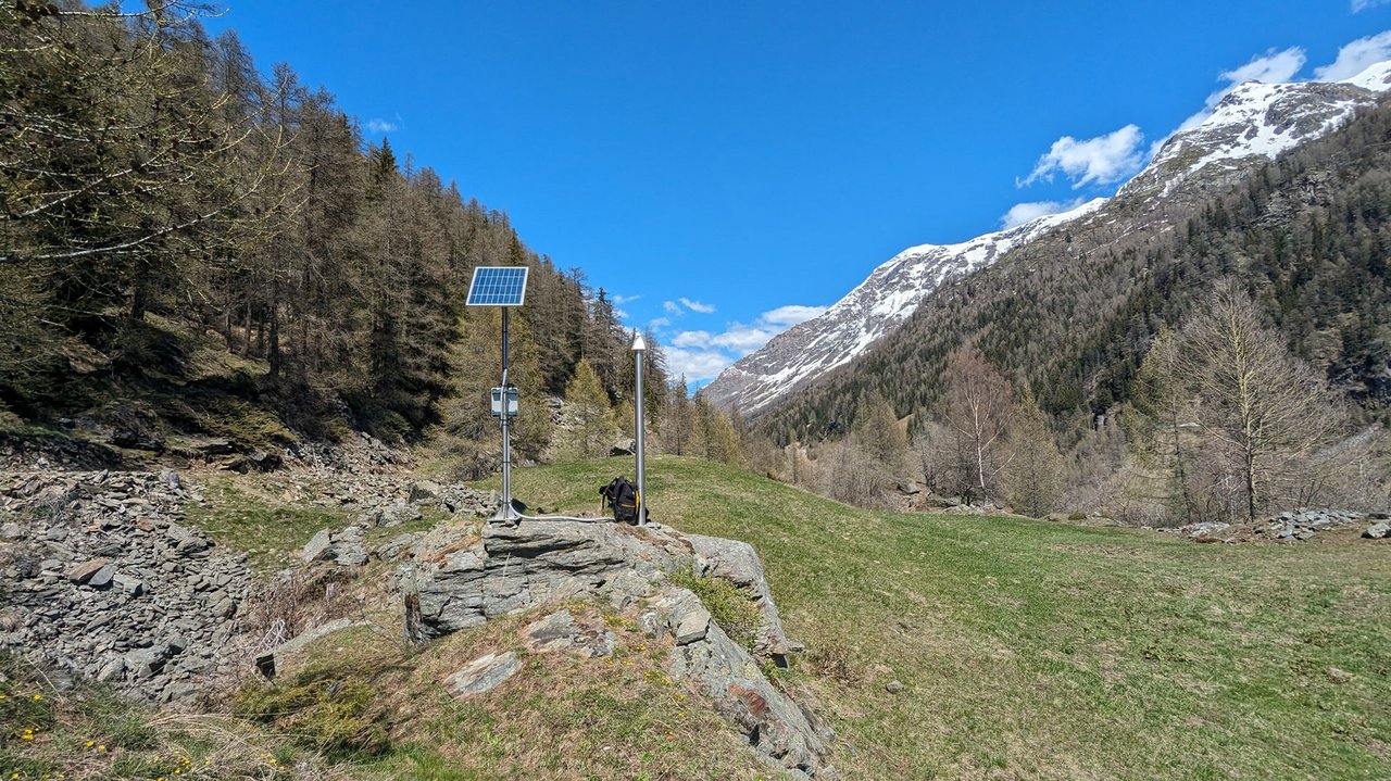
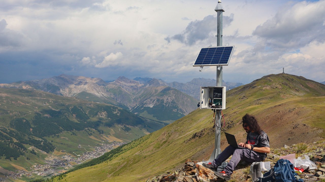
GReD provides high-precision geodetic, structural and environmental monitoring services for infrastructure, energy facilities, buildings and land. Its solutions integrate satellite data, GNSS sensors and advanced data processing techniques to detect displacements, deformations, subsidence, uplift, slope instability and changes in water levels. In the geophysical field, GReD provides services for the analysis of gravity and magnetic fields aimed at natural resource exploration in the oil & gas and mining sectors.
Activities
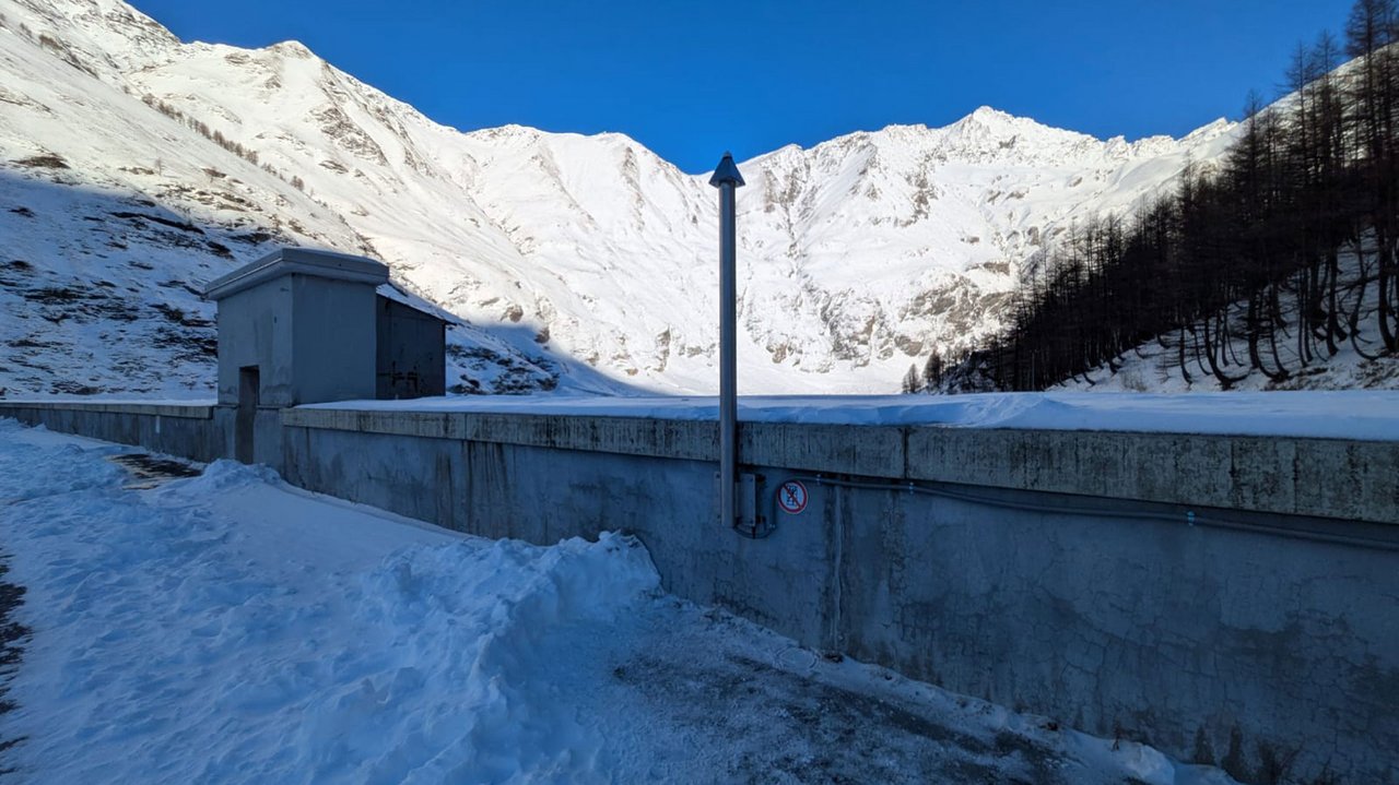
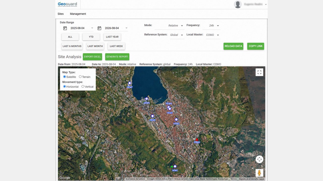
GReD designs and manages monitoring systems for hydroelectric plants, bridges, buildings, landslide-prone slopes, and areas affected by subsidence or uplift. Activities include the installation and management of monitoring networks, data acquisition and processing, deformation analysis, dashboards, and technical reporting. The Geophysics Business Unit carries out software development, processing, modelling, and interpretation of gravity and magnetic data for oil & gas and mineral exploration.
Founders
Discover the founders of GReD
Professor Emeritus at Politecnico di Milano and member of the Accademia dei Lincei. Expert in geodesy, gravity field modelling, statistics and GNSS theory.
Environmental engineer with a PhD in Geomatics. Expert in high-precision GNSS processing, co-inventor and head of the GeoGuard monitoring service.
Environmental Engineer with a PhD in Geomatics and Infrastructure. Responsible for GReD’s operational development and financial control.
Environmental engineer with a PhD in Geodesy and Geomatics. Expert in potential field methods and gravity inversion for geophysical exploration.
Environmental engineer with a PhD in Geodesy and Geomatics. Specialized in GNSS applications for geosciences, co-inventor of GeoGuard and CEO of GReD.